Our founder led a Bronte waterfront custom division from 2011 to 2020, and it is still the part of Oakville where lot research pays off fastest. Lake Ontario shoreline lots, harbour-side infill along Lakeshore Road West and ravine lots on Bronte Creek, the local name for Twelve Mile Creek, sit within a few minutes of each other, yet each answers to a different mix of Conservation Halton, heritage and Zoning By-law 2014-014 rules. Most houses south of the QEW went up between the late 1950s and the 1970s, so many lots now carry a house that is ready to come down. We tell you which rules apply to your lot, what they cost and how long they take, in writing, before you commit.
The lot stock here falls into three groups, and each behaves differently on paper.
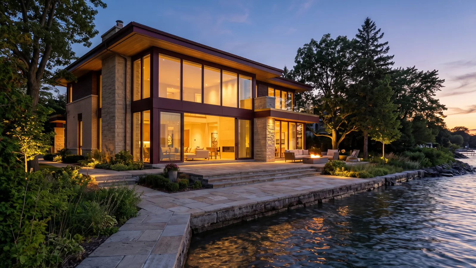
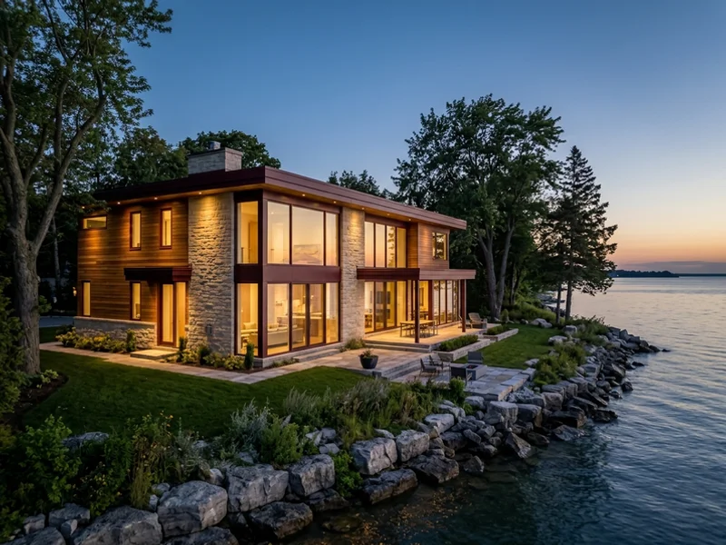
Lake Ontario shoreline lots south of Lakeshore Road West are the most valuable and the most regulated. Conservation Halton sets an erosion hazard limit from the top of the shoreline bluff, adds an allowance for wave uprush and the 100-year flood elevation, and expects a geotechnical report before it will comment on a house. On waterfront custom home lots that limit can remove a quarter or more of the usable depth.
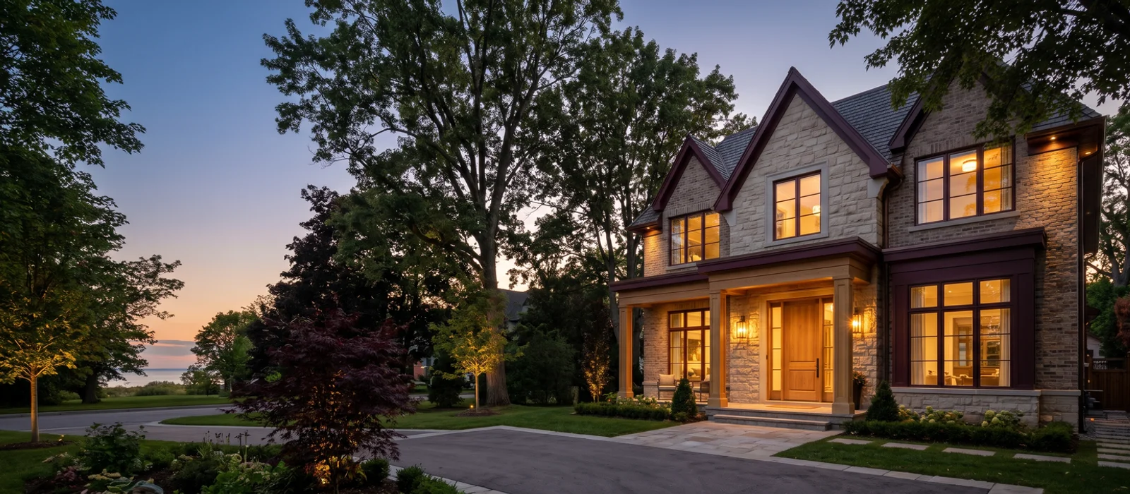
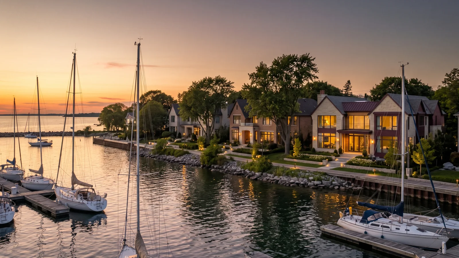
Harbour and village infill around Bronte Harbour and the village main street sits on smaller, older lots, often with 1950s and 1960s houses that are ready to come down. Here the Zoning By-law 2014-014 envelope, lot coverage limits and, on some properties, heritage designation or listing decide the size of the new home.
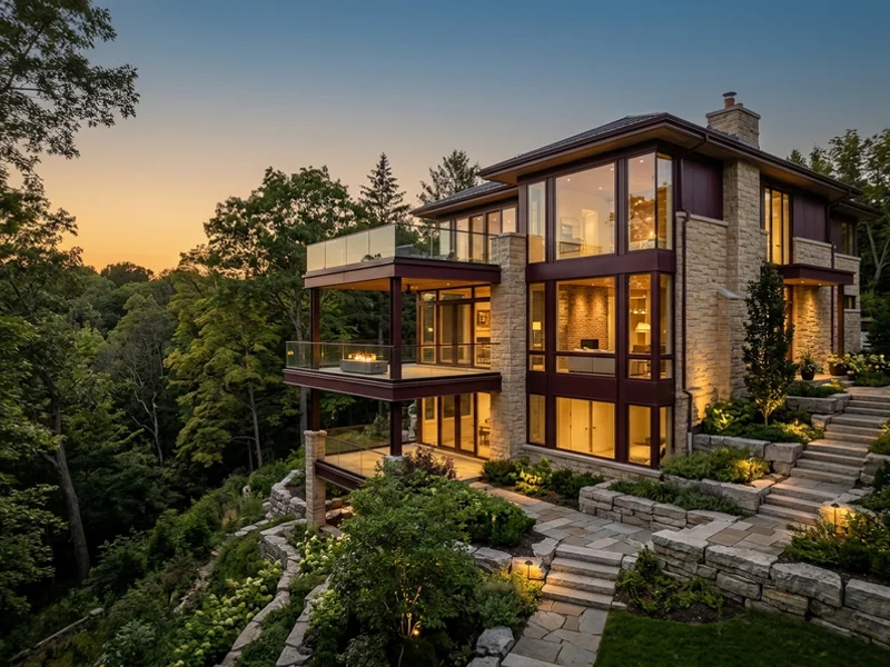
Creek ravine lots to the north and west back onto the Twelve Mile Creek valley. Conservation Halton regulates the top of bank, slope stability and any grading within the regulated area, and mature trees on the valley edge are protected.
We photograph shoreline conditions in spring, when water levels are highest, so the geotechnical engineer sees the worst case.

 $1.84M Build Value