Custom Home Builder Oakville provides Conservation Halton permits, ravine-lot custom homes, shoreline engineering coordination and written lot evaluations throughout Oakville and Halton, backed by 21+ years combined Oakville and Halton design-build. A Conservation Halton permit is the first approval on a regulated lot, and the Town will not issue your building permit until it is in place.
What Is a Conservation Halton Permit?
Conservation Halton is the conservation authority for much of Halton Region, including Oakville. Under Ontario Regulation 41/24, it regulates development and site alteration near natural hazards: river and stream valleys, floodplains, wetlands, and the Lake Ontario shoreline. If your lot is inside its regulated area, you need its permission before grading, building or placing fill.
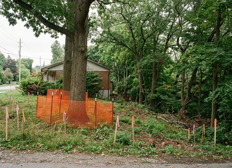
For a custom home, the permit typically covers where the house sits relative to the top of bank or erosion hazard limit, the grading plan, how roof and driveway water is managed, tree protection on the valley edge, and erosion and sediment controls during construction.
Types of Regulated Lots in Oakville
Ravine and valley lots
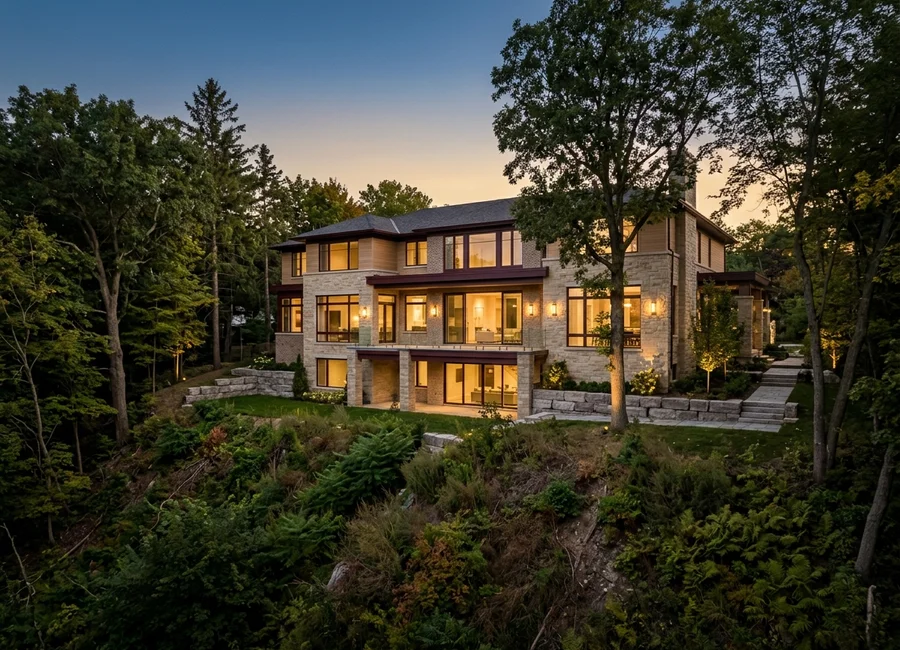
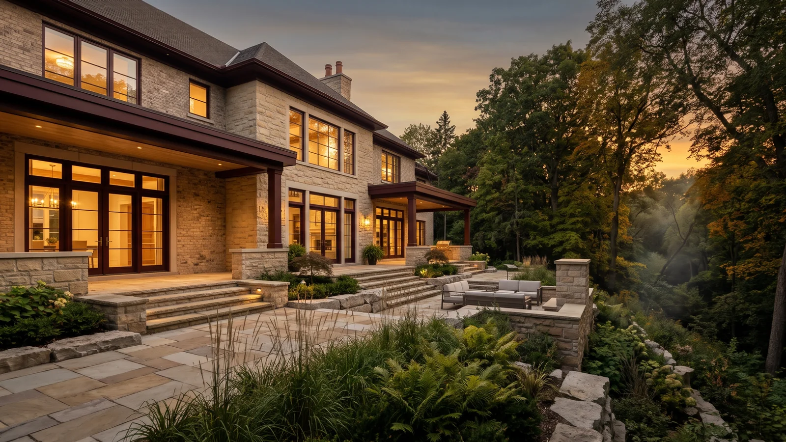
Lots backing onto Sixteen Mile Creek in Glen Abbey, Bronte Creek in Bronte and Palermo, and Fourteen Mile Creek in west Oakville. The top of bank, slope stability and an erosion allowance set the development limit.
Floodplain lots
Low-lying lots near creeks where flood elevations limit where and how high the ground floor can be.
Lake Ontario shoreline lots
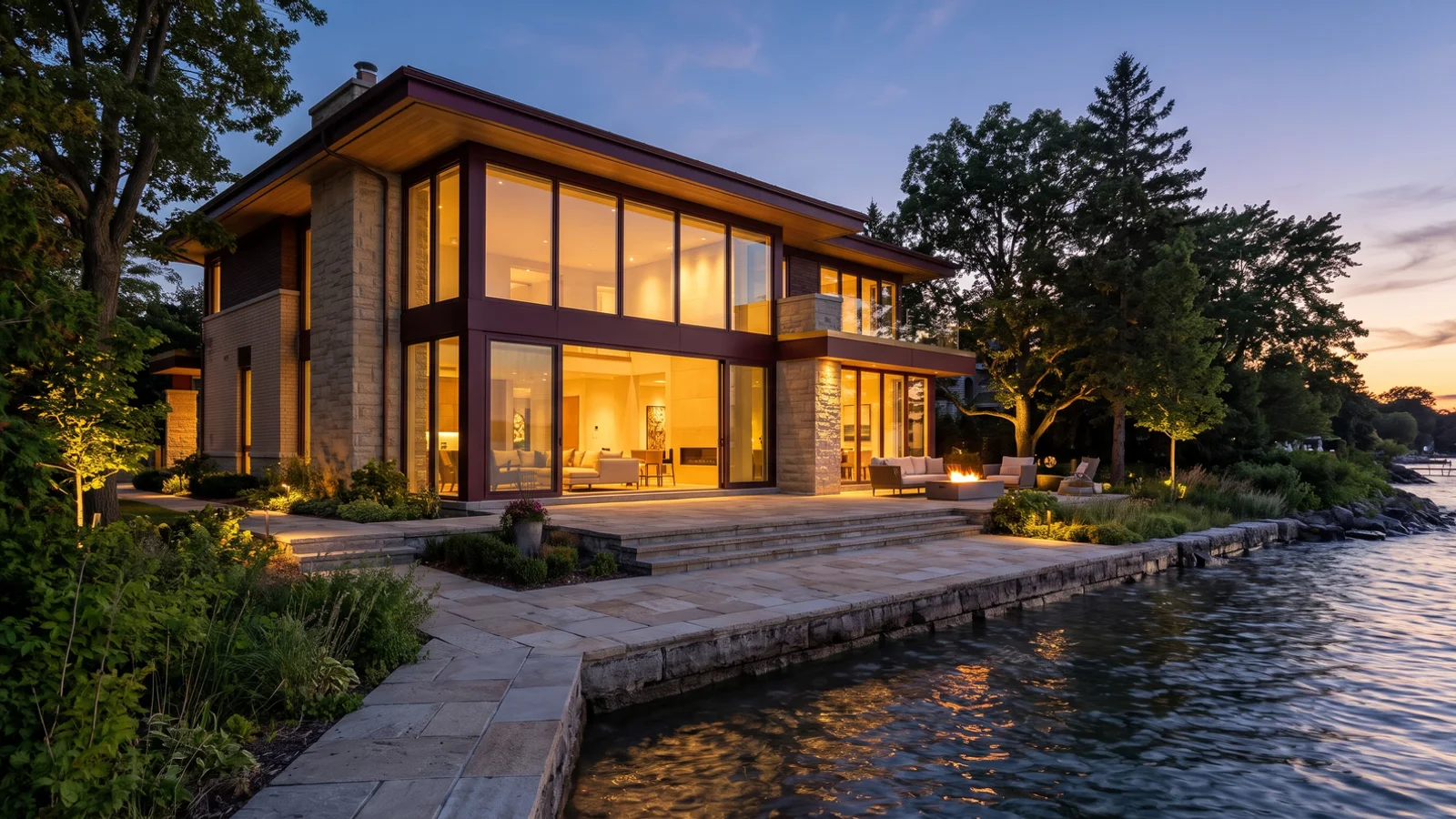
Bronte and Lakeshore Road lots, where the erosion hazard limit, flooding hazard and wave uprush set the limit. See our waterfront custom home service.
When Do You Need a Conservation Halton Permit?
You need one whenever your work falls inside the regulated area, even if the house itself is outside it. Grading, retaining walls, pools, decks, fill and stormwater outlets near a valley can all require a permit. The best time to find out is before you buy or before you design, which is why the check is part of every written lot evaluation.
What Drives the Cost and Timeline?
| Study or step | Typical cost | When needed |
|---|---|---|
| Topographic survey | $3K-$8K | Every regulated lot |
| Top of bank staking | Included in survey visit | Valley lots |
| Arborist report | $1.5K-$5K | Valley-edge trees |
| Geotechnical or slope stability study | $8K-$30K | Steep or uncertain slopes, shoreline |
| Floodplain analysis | $5K-$20K | Lots near flood limits |
| Permit preparation (our fee) | $6K-$22K | Every regulated lot |
How Do Conservation Halton Rules Interact With Other Approvals?
Conservation Halton sets where development can go on the natural-hazard side. Zoning By-law 2014-014 then applies the Town’s setbacks, coverage and height inside that area. The Ontario Building Code Part 9 governs the structure, and on slopes the foundation design follows the geotechnical report. The Town building permit is issued only after Conservation Halton has approved, which is why sequencing matters. Our in-house expeditor manages both, and our field lead coordinates Conservation Halton site inspections during construction.
Permit First vs Design First
Designing first and seeking the permit afterwards is the most expensive way to build on a regulated lot. If the accepted limit is further back than the design assumed, the house has to be redrawn. Staking the limit and designing to it from the start is faster, cheaper and far less stressful. That is the order we follow.